Frequently Asked Questions
The topic of managing growth is diverse and can be complicated. This page answers some of the most frequently asked questions about how we plan for growth in Bend.
FAQs
This page seeks to answer some of the most common questions about growth.
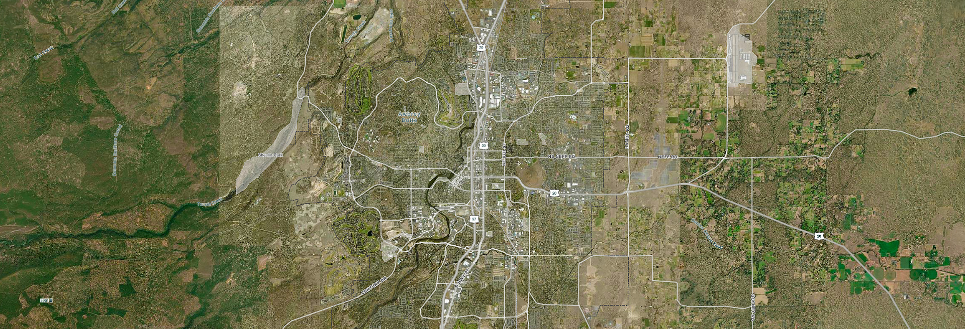
An urban growth boundary (UGB) is a line on a map around Bend showing where the city may grow over the next 20 years. Oregon requires every city to have a UGB to provide land for housing, schools, parks and jobs.
State law requires a city to first determine how much land is needed for a UGB expansion. Land for housing and jobs must be considered.
This work will begin in 2026 and continue through 2029. The City Council will then decide how to meet housing and job needs and if a UGB expansion is necessary.
Both the Bend City Council and the Deschutes County Board of Commissioners must agree to the boundary and show it in their plans and maps. The Oregon Department of Land Conservation and Development (DLCD) must also approve any changes to the UGB.
In 2016, Bend added 2,380 acres to the UGB in expansion areas. Most of these lands are currently used for rural purposes and need roads, water and sewer before they can be developed.
Land use outside the UGB is managed by Deschutes County. Uses include agriculture, forestry, recreation, wildlife habitat, natural areas and rural living.
The City of Bend cannot stop people from moving here. Oregon has laws that require all cities in the state to have enough land for 20 years of housing and job growth. Access to sewer, water and roads must also be provided.
The City has a Comprehensive Plan that guides growth, specifically Chapter 11: Growth Management. The plan uses 20-year forecasts of population, housing and jobs to ensure Bend has enough land for housing, jobs, schools and parks.
The plan includes:
- Planning for public infrastructure like roads, water and sewer.
- Protecting historic resources, natural areas and wildlife habitat.
- Goals for creating complete neighborhoods with multiple housing types and access to jobs, services, parks and schools.
Visit this page for more information on planning for growth in Bend.
In 2016, with the adoption of the urban growth boundary (UGB) expansion, the City identified key areas for future housing and job growth, including nine opportunity areas and ten expansion areas.
- Opportunity Areas
These are areas within the city where plan designations and zoning were changed to provide more capacity for housing and jobs, especially more mixed-use development. - Expansion Areas
These are lands added to the UGB in 2016, designated for housing, schools, jobs and other uses like parks.
Visit the Growth Management home page to explore expected and upcoming changes in your neighborhood.
As Bend grows, there are fewer large areas for development within the city. Urban growth boundary (UGB) expansion areas may be planned for complete neighborhoods with housing, jobs, shopping, parks and schools.
While there is strong interest in expansion areas, development is also encouraged on vacant land within the city. These areas are called opportunity areas in the Comprehensive Plan. Encouraging growth within the city helps reduce costs for roads, water and sewer, and helps people drive less.
Zoning refers to how the City divides land by uses. For example, a property zoned residential is mainly for housing. Zoning reduces conflicts between uses and ensures there is enough land for different types of development to meet Bend’s needs.
There are over 20 zones within Bend. The City offers several ways to learn more about zoning through online tools and maps:
- The Zoning Basics Interactive Learning Tool.
- The Zoning Lookup Tool to explore current zoning for any tax lot within the city.
- The Zoning Map to view current zones in Bend.
You can also learn more about Bend’s zoning by visiting the Planning & Historic Preservation webpage.
The City has a 20-year transportation plan listing Bend’s top travel concerns: safety, choices and congestion.
To address these concerns, the City created a list of projects for all types of travel: driving, walking, biking and transit. Many projects will be funded by the 2020 Transportation GO Bond.
There are many ways for community members to take part in land use and transportation planning.